High-Precision Aerial Photogrammetry, 3D Point Clouds, and Cadastral GIS Surveys
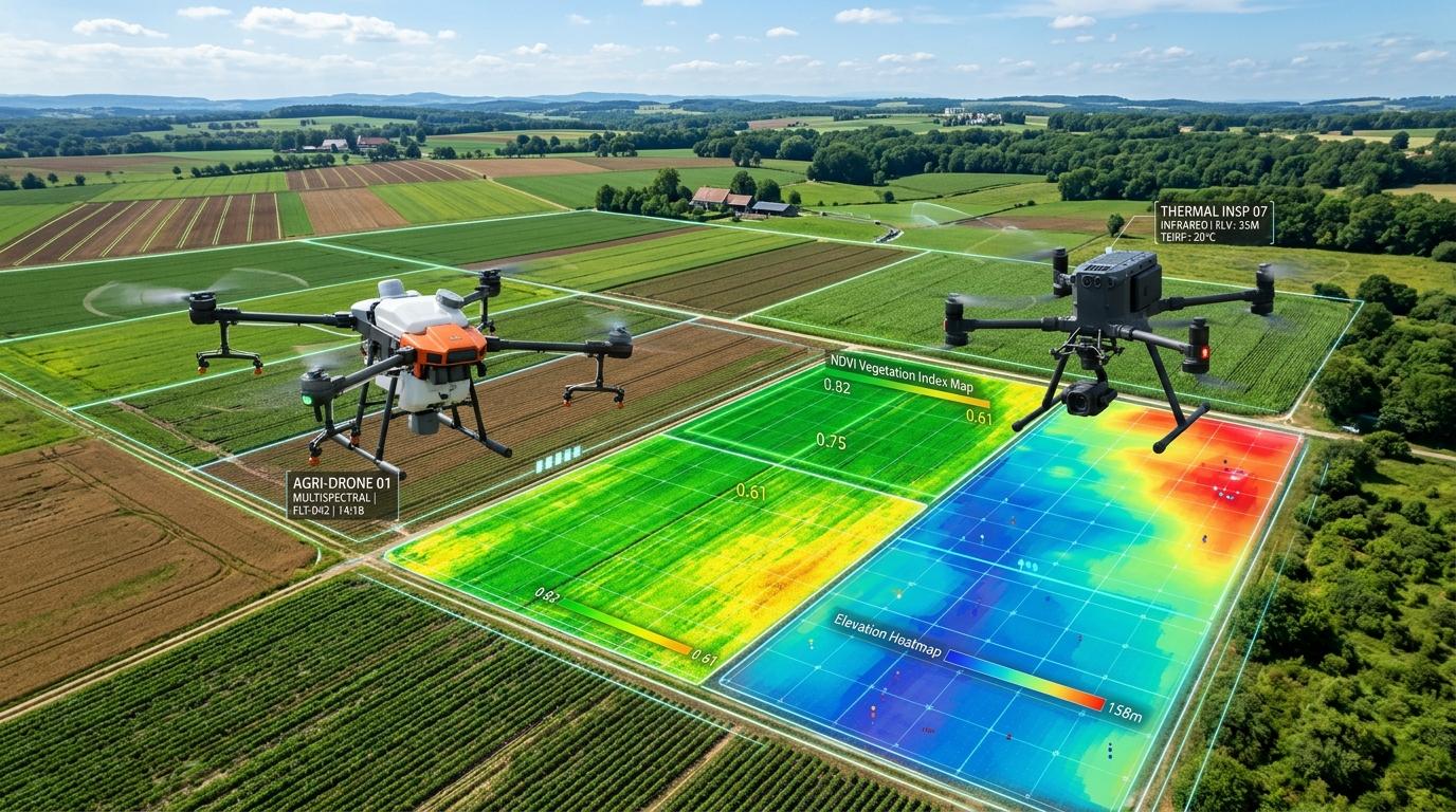
Photogrammetric surveying and mapping by Vymanika Aerospace delivers survey-grade topographical data faster, safer, and at a fraction of the cost of traditional ground survey methods. Utilizing RTK/PPK-enabled UAVs and calibrated high-resolution RGB/LiDAR payloads, we produce georeferenced orthomosaics, 3D surface models, and elevation contours with sub-2cm absolute accuracy.
Traditional total station surveys take weeks across rugged terrain, expose crews to safety hazards in active mines or rail corridors, and yield sparse point measurements.
Vymanika UAVs capture millions of coordinate points per hectare in minutes, generating complete 3D digital twins without halting ground operations.
Distortion-free, sub-centimeter resolution aerial image map aligned to national grid coordinates.
Precise surface and bare-earth elevation data for hydrological and grade planning.
Dense point clouds containing millions of spatial coordinates for BIM and CAD imports.
Major and minor contour intervals (0.25m / 0.5m) ready for civil engineering design.
Exact cut-and-fill calculations for mining, aggregate, and earthmoving projects.