Skip to content
Vymanika Aerospace
Home/Academy/Mapping, Survey & GIS Course
📞 Admission Desk
✓ 5 Days IntensiveGujarat 1st RPTO

Drone Mapping, Survey & Inspection Course

Master Aerial Photogrammetry, 3D Point Clouds, and GIS Data Analytics

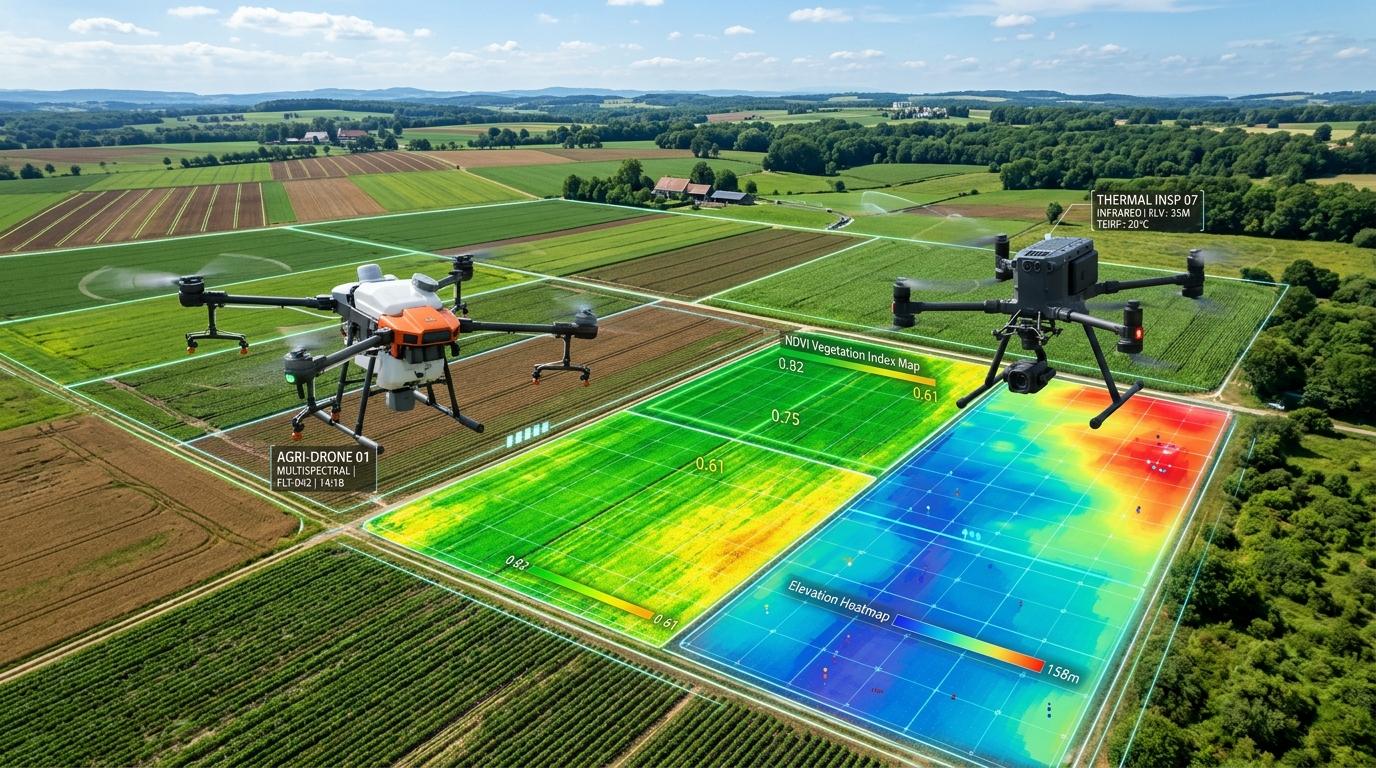
This course introduces the complete end-to-end workflow of drone mapping and surveying, from flight mission planning to post-processing photogrammetric deliverables. Students master industry-standard software (Pix4D, DJI Terra, AutoCAD Civil 3D) to produce orthomosaics, 3D mesh models, digital elevation models (DEM), and volumetric calculations.

💬 WhatsApp Syllabus
Drone Mapping, Survey & Inspection Course
Flight Training Grounds

Surat Corporate Tech Lab & Dediyapada Field Base

Authorized DGCA Medium-Class Remote Pilot Training Organization
Structured Curriculum

Day-by-Day Training Syllabus

  • Photogrammetry basics: Overlap, sidelap, ground sampling distance (GSD)
  • Sensor optics, focal length, rolling vs. global shutter considerations
  • Coordinate systems, datums, and cartographic projections (WGS84, UTM)
Admission Requirements

Eligibility Criteria

  • Civil engineers, surveyors, GIS professionals, architects, or existing drone pilots
  • Basic familiarity with computers and operating systems
  • Interest in aerial geospatial data and cartography
Why Vymanika RPTO

Course Highlights

  • Flight Mission Planning: Autonomous grid, double-grid, and corridor mapping paths
  • Ground Control Points (GCPs): Deploying DGPS / RTK rovers for sub-centimeter accuracy
  • Software Hands-on: Pix4D Mapper, DJI Terra, and WebODM processing pipelines
  • Volume Analysis: Measuring mining stockpiles, cut-and-fill construction data
  • Real-world case study processing from industrial highway and mine sites
📜

Professional UAV Photogrammetry & GIS Certificate

Certified By: Vymanika Aerospace Technical Training Academy